Cavalls del Vent MTB
225 km / 7.300 m+
3 stages – Very high level
For experienced and fit cyclists. Many kilometers per day on hard terrain that makes you spend many hours pedaling. We recommend spending the previous night in Bagà, so you can start earlier in the morning. Designed for those who don't have more days. We recommend the baggage transport option, to travel more lightly.
Stage 1: Bagà - La Seu d'Urgell 80 km / 2.620 m+ / 2.740 m- / ***
Asphalt: 19 km / Forest trail: 50 km / Path: 11 km
Water: in Coll de la Bena, Josa de Cadí and Cornellana, where it's important to stock up on water, because we won't find water again until Cerc.
Provisioning: stage without any kind of roadside services. It's recommended to be self-sufficient.
Towns: Bagà, Josa de Cadí, Cornellana, Fórnols, Cerc, La Seu d'Urgell.
Escape route: in case of bad weather or tiredness there are two options to shorten the stage.
Stage 2: La Seu d'Urgell – Bellver 81 km / 2.730 m+ / 2.390 m- / ****
Asphalt: 8 km / Forest trail: 65 km / Path: 8 km
Water: in Ansovell, Arsèguel, El Querforadat i Montellà, but not at the roadside.
Provisioning: in Arsèguel (to 33 km) we will find the restaurant Ca la Lluïsa (pre-booking necessary) and the Hotel Font del Genil bar-restaurant.
Towns: La Seu d'Urgell, Alàs, Ansovell, Cava, Arsèguel, El Querforadat, Béixec, Montellà, Bellver.
Escape route: in case of bad weather or accumulated tiredness, one option available.
Stage 3: Bellver - Bagà 64 km / 1.950 m+ / 2.170 m- / ****
Asphalt: 23 km / Forest trail: 41 km / Path: 0 km
Water: in Bellver de Cerdanya, mountain huts, Riu and Urús.
Provisioning: in the mountain huts of Cortals de l'Ingla, Serrat de les Esposes and Rebost.
Towns: Bellver de Cerdanya, Riu, Urús, Das, Bagà.
Escape route: in case of bad weather or accumulated tiredness, two options.
4 stages – Medium-high level
More balanced proposal: kilometres, slopes and stretches of technical difficulty are better distributed. It allows you to enjoy the route in a more relaxed way, having time to visit the villages at the end of each stage. We recommended to hire the baggage transport service.
Stage 1: Bagà - Tuixent 53 km / 1.745 m+ / 1.365 m- / ***
Asphalt: 11 km / Forest trail: 38 km / Path: 4 km
Water: in Coll de la Bena, Josa de Cadí and Cornellana.
Provisioning: stage without any kind of roadside services. It's recommended to be self-sufficient. In Coll de Bauma (km 15) you can follow down the trail, on your left, towards the Sanctuary of the Virgin of Gresolet and the mountain hut of Gresolet, where you can provide yourself (BE CAREFUL! There are 2,5 km and 275 m of descent that you will have to go up again back to Coll de Bauma). In Molí de Fórnols (km 48) there's a restaurant.
Towns: Bagà, Josa de Cadí, Cornellana, Fórnols, Molí de Fórnols, Tuixent.
Escape route: km 29, Josa de Cadí. In case of bad weather or tiredness you can easily reach Tuixent by road, entering the village at the first turn-off on the left.
Stage 2: Tuixent - Arséguel 57 km / 2.020 m+ / 2.350 m- / ***
Asphalt: 7 km / Forest trail: 38 km / Path: 12 km
Water: it's important to take supplies with you, because you won't find water before Cerc.
Provisioning: it's recommended to be self-sufficient. In Alàs (km 43) there's a bar-restaurant.
Towns: Tuixent, Molí de Fórnols, Cerc, Alàs, Arsèguel.
Escape route: km 43, Alàs. In case of bad weather or tiredness, you can follow the N-260 main road towards Puigcerdà, to the intersection to Arséguel (km 8) to go up again 2 km to the village, or to Banys de Sant Vicenç (km 9). BE CAREFUL! very busy road.
Stage 3: Arseguel - Bellver 49 km / 1.600 m+ / 1.430 m- / ***
Asphalt: 8 km / Forest trail: 36 km / Path: 5 km
Water: in El Querforadat, Montellà, Nas and Pi, but not at the roadside.
Provisioning: in Martinet (km 26 to 0,5 km) where there's a bakery, bars, restaurants and grocery stores.
Towns: Arsèguel, El Querforadat, Béixec, Montellà, Nas, Pi, Bellver de Cerdanya.
Escape route: km 26, start of the forest trail to Prat d'Aguiló and the Valley of Ridolaina. In case of bad weather or tiredness you can follow the small road towards Santa Eugenia de Nerellà, continue by road towards Pi and take the forest trail that leads directly to Bellver de Cerdanya.
Stage 4: Bellver - Bagà 64 km / 1.950 m+ / 2.170 m- /***
Asphalt: 23 km / Forest trail: 41 km
Water: in mountain huts, Riu and Urús.
Provisioning: you can supply yourself in Cortals de l'Ingla (km 11), Serrat de les Esposes (km 20) and Rebost (km 52).
Towns: Bellver de Cerdanya, Riu, Urús, Das, Bagà.
Escape route: in case of bad weather or tiredness. At the beginning of the stage (km 2,6) you can continue towards Coborriu and, per forest trail, up to Bor; by road you can reach Pedra and Riu, linking with the km 27 of the route. IMPORTANT: don't go through the Valley of Ingla, Coll de la Trapa and the forest trails of Serrat de les Esposes.
Do you want to enjoy the Cavalls del Vent route by mountain bike? The MTB Welcome Pack will allow you to do it with all the comforts. This Pack includes:
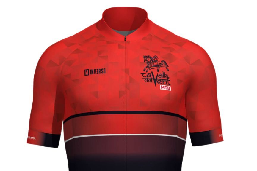
- Oficial Inverse Jersey.
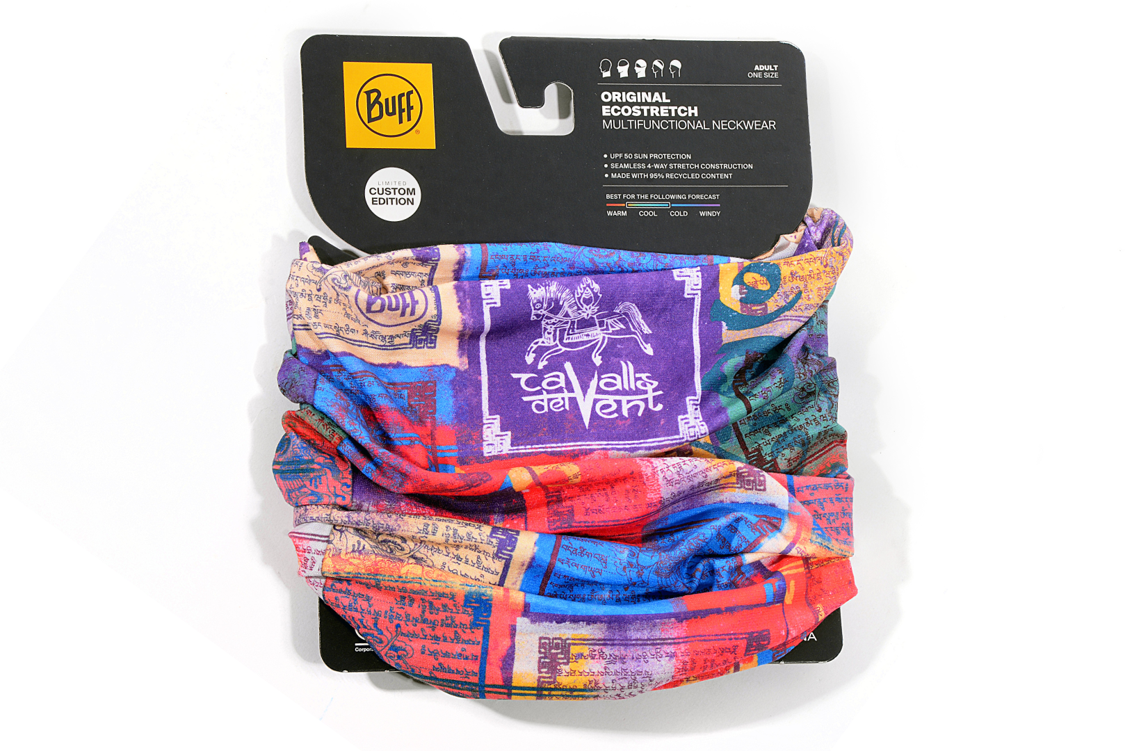
- CDV BUFF® Tubular.
- CDV water bottle.
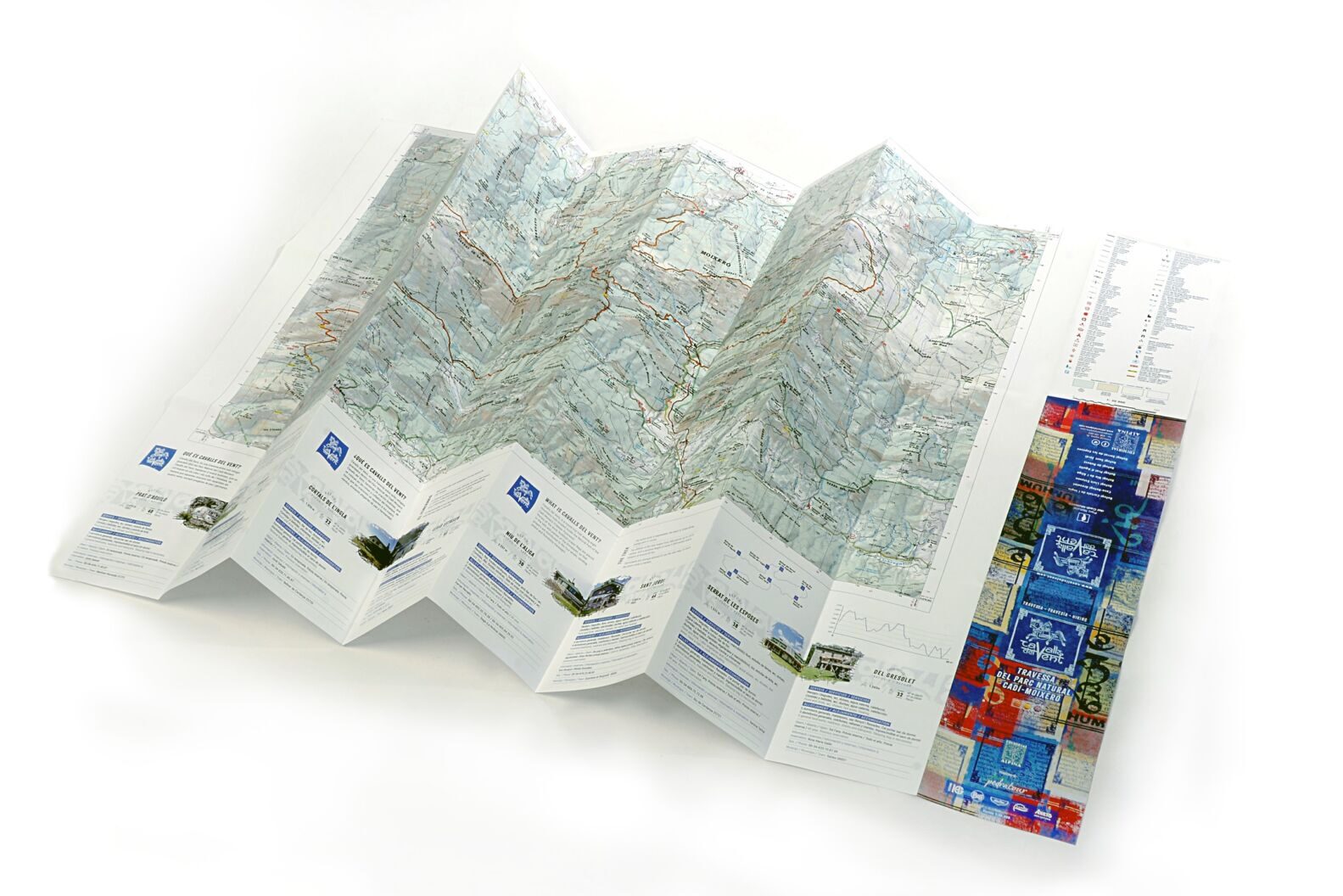
- Official map of the Cavalls del Vent MTB route by Editorial Alpina.
- Zanuy Mediterranean Wraps Pack.
- Management of the booking of all the accommodations.
- Initial briefing.
- 24h phone support while you're on the route.
- Possibility to take an accident insurance (including mountain rescue) and/or a cancellation insurance.
- Possibility to hire baggage transport.
- Possibility to hire mechanical assistance.
For more information and tailor-made budget, send an email to mtb@cavallsdelvent.com or call us at +34 938 21 51 11.
